What are Raivens drone technologies?
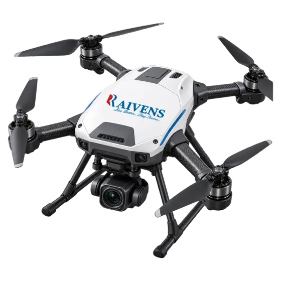
Drone technologies from Raivens cover custom multirotor drones, payload integration and training kits for inspection, surveying and mapping, security and agriculture. Each drone is built around its mission: the camera or sensor it carries, how long it must stay in the air and where it will fly. Raivens designs and builds each platform, integrates the payload, flight-tests every aircraft and supports it in the field. Every platform is built to operate within local aviation regulations.
Why drones matter for inspection and mapping
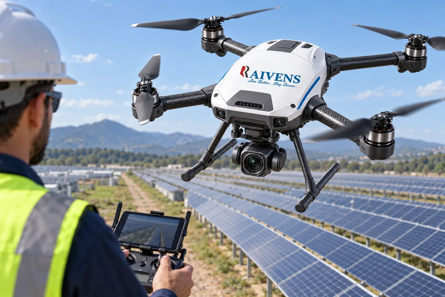
Walking a solar plant row by row, climbing a telecom tower or following a power line on foot takes crews, time and work at height. A drone captures the same asset from the air, with thermal and zoom cameras that reveal faults the eye can miss, while the crew stays on the ground. Survey teams get dense, geotagged image sets for maps and 3D models from planned flights. Farms see crop stress early. Security teams get a view from above when an incident starts. And because a mission can be flown again on the same path, each new flight shows what has changed since the last one.
Applications and payloads
| Application | Typical payload | What you get |
|---|---|---|
| Solar plant inspection | Thermal and RGB cameras | Locations of hot spots and damaged panels |
| Power line and telecom inspection | Zoom and thermal cameras | Close-up images of insulators, joints and antennas |
| Surveying and mapping | Mapping camera; LiDAR option | Data for orthomosaics, contour maps and 3D models |
| Surveillance and security | Day and thermal cameras, live video link | Live aerial view for patrols and events |
| Agriculture | Multispectral camera; spraying or spreading options | Crop-health maps and targeted application |
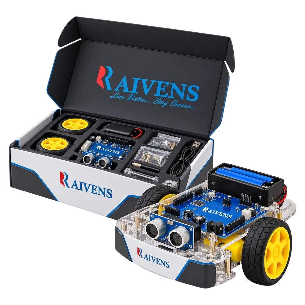
| Training and education | Programmable kit drones | Hands-on lessons in building, coding and flying |
Key capabilities
- Custom airframes. Quad-, hexa- and octocopter frames are sized for payload, flight time and site conditions.
- Payload integration. We mount, power and connect your camera, sensor or drop mechanism and bring its data into the ground station.
- Repeatable missions. Waypoint and grid missions fly the same path on every visit, so results can be compared over time.
- Failsafes. Return-to-home, geofencing and low-battery actions are set for each mission.
- Live video and telemetry. Operators see the camera feed and flight data in real time.
- Data you can use. Geotagged images, video and flight logs feed standard mapping, inspection and reporting tools.
Built for utilities, surveyors, security teams and farms
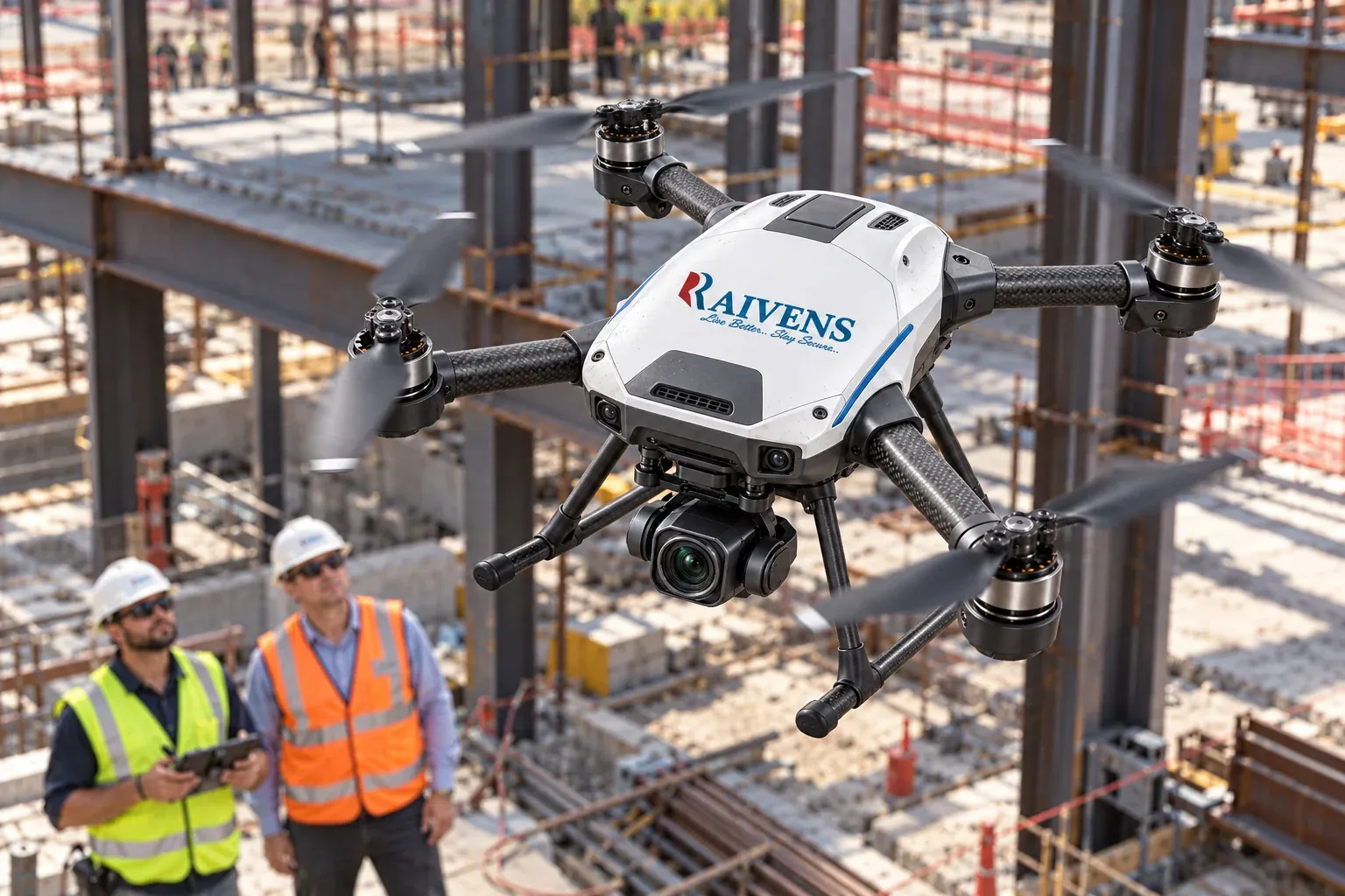
Utilities and solar operators use inspection drones to plan maintenance instead of searching for faults. Telecom teams check antennas and mounts without sending a climber up every tower. Survey firms and construction teams map sites and track progress. Security teams cover large perimeters and events. Farms use monitoring flights and, where local rules allow, spraying. Colleges and training institutes use education drone kits to teach how drones are built, coded and flown; see robotics and AI kits for classroom options. On solar and industrial sites, aerial data pairs well with ground monitoring from PLC and IoT data loggers.
Regulations, integration and support
Drone rules differ by country and by use. Raivens builds each platform to operate within local aviation regulations, and compliance documentation per model is available on request. Registration, pilot licensing and flight permissions stay with the operator. Tell us the mission, payload and site, and we will propose an airframe, a payload setup and a support plan. Contact our team to start, or visit support for drones already in service. For indoor autonomy, see service robots and the wider Robotics & Drones solution.